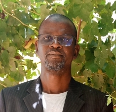
This exploratory research project is a first step towards the mapping of local knowledge about soils in Niger. Soils constitute a kind of environmental archive underpinning the daily life of everybody living on them. Using two regions of Niger as examples, Sani is trying to understand how local people perceive soils, and what these perceptions can teach us about how soils have evolved over time, how people have used them and are still using them, and how soils are being modified by climate change. In an innovative way, Sani starts from his own position as an “academic” geologist with methods that are available to the “modern scientist,” such as remote sensing, and combines them with local techniques of soil recognition, classification, and use. In this way, he tries to get a larger picture of what we currently understand through de word “soils.”
Project
Mapping Local Knowledge Related to Soils. The Case of Niger
- Sani Ibrahim

